
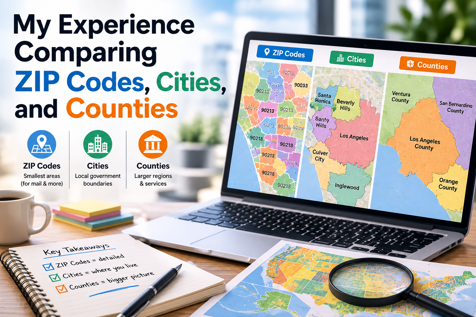
When I first became interested in U.S. ZIP Codes, I assumed they were closely connected to cities and counties. In my mind, an address belonged to a city, the city belonged to a county, and the ZIP Code simply confirmed the location.
The more I compared them, however, the more I realized that these three geographic identifiers serve different purposes.
My experience researching ZIP Codes, cities, and counties taught me that an address can be much more complicated than it appears on a mailing label. It also showed me why understanding the difference can be useful for online shopping, business research, travel planning, and everyday address verification.
My Initial Assumption Was Too Simple
At first, I imagined American geography as a series of perfectly matching layers.
I thought a ZIP Code would always correspond to one city, and that city would always fit neatly inside one county.
That sounds logical, but real-world geography is rarely that simple.
ZIP Codes are primarily related to postal delivery, while cities and counties are government-defined geographic areas.
Because they were created for different purposes, their boundaries and relationships do not always line up perfectly.
That was my first major discovery.
One City Can Have Many ZIP Codes
The easiest difference to notice was the relationship between cities and ZIP Codes.
Large American cities can have numerous ZIP Codes.
Different neighborhoods, commercial areas, and postal delivery routes may use different ZIP Codes even though they share the same city name.
This explained something I had encountered many times online.
When a website asks for a ZIP Code after asking for a city, it is not necessarily expecting one unique code for the entire city.
The exact street address can determine which ZIP Code is appropriate.
One ZIP Code Does Not Always Tell the Whole Story
I also learned that a ZIP Code should not be treated as a complete description of a location.
A ZIP Code can be associated with a city name, state, county, and other geographic information, but it does not necessarily describe an official municipal boundary.
This distinction became particularly interesting when I compared ZIP Code maps with ordinary city maps.
The shapes did not always match.
A postal area can extend across boundaries that look very different on a municipal map.
Counties Added Another Layer
Adding counties to the comparison made things even more interesting.
A county is a government and administrative division, while a ZIP Code is primarily a postal identifier.
This means that a ZIP Code may have a relationship with one or more county areas depending on the location and the data source.
When I first encountered this information, I wondered why the systems were not designed to match.
The answer became clearer when I considered their different purposes.
Cities and counties help organize government and administration.
ZIP Codes help organize postal delivery.
They do not need to have identical boundaries.
Rural Areas Looked Very Different
My comparison became even more interesting when I looked at rural parts of the country.
In densely populated cities, ZIP Codes can cover relatively compact areas.
In rural regions, a ZIP Code may cover a much larger geographic area.
This difference makes sense when considering population and address density.
A ZIP Code serving thousands of addresses in an urban environment may need a very different geographic footprint from one serving a smaller population spread across a wide rural region.
Maps Helped Me Understand the Differences
Lists of ZIP Codes are useful, but maps made the relationships much easier to understand.


When I viewed ZIP Code boundaries alongside cities and counties, I could immediately see why assuming they were interchangeable would be misleading.
The maps showed overlapping geographic systems rather than one perfectly aligned structure.
That visual comparison changed how I interpreted address information.
ZIP Codes Became More Useful for Online Shopping
My understanding of these differences also changed how I think about ecommerce.
When ordering something online, I usually provide a street address, city, state, and ZIP Code.
The ZIP Code helps provide postal and geographic information that can be used during order processing.
But the ZIP Code does not replace the city or street address.
Each part provides different information.
This is why entering the complete address accurately is so important.
Businesses Can Benefit From Understanding the Differences
The comparison also has practical value for businesses.
A company might analyze customers by ZIP Code for marketing or service planning, while government or demographic research may focus on counties or cities.
These geographic units can produce different results.
For example, a business serving a particular ZIP Code area may not necessarily be serving an entire city or county.
Understanding the difference can help organizations avoid drawing incorrect conclusions from location data.
I Became More Careful With Geographic Databases
Another lesson was that different databases may classify locations differently.
A ZIP Code database may provide city and county information alongside postal details, but users should understand what each field represents.
For casual research, these differences may not matter much.
For logistics, business analysis, address verification, or other important tasks, reliable and current data becomes more important.
I now pay more attention to the source of geographic information instead of assuming every database uses exactly the same definitions.
ZIP Codes Are Not the Same as Neighborhoods
I also learned not to use ZIP Codes and neighborhood names interchangeably.
A neighborhood is often a social or informal geographic concept.
A ZIP Code is a postal identifier.
People may identify strongly with a neighborhood even though their mailing address uses a different city name or postal area.
This helped me understand why online location information can sometimes appear inconsistent even when the address itself is valid.
The Comparison Changed My Perspective
Before this experience, I saw ZIP Codes, cities, and counties as different names for roughly the same geographic information.
Now I understand that they answer different questions.
A city can describe a municipality or incorporated community.
A county is a broader administrative division.
A ZIP Code identifies an area used within the postal system.
They can overlap, but they should not automatically be treated as interchangeable.