
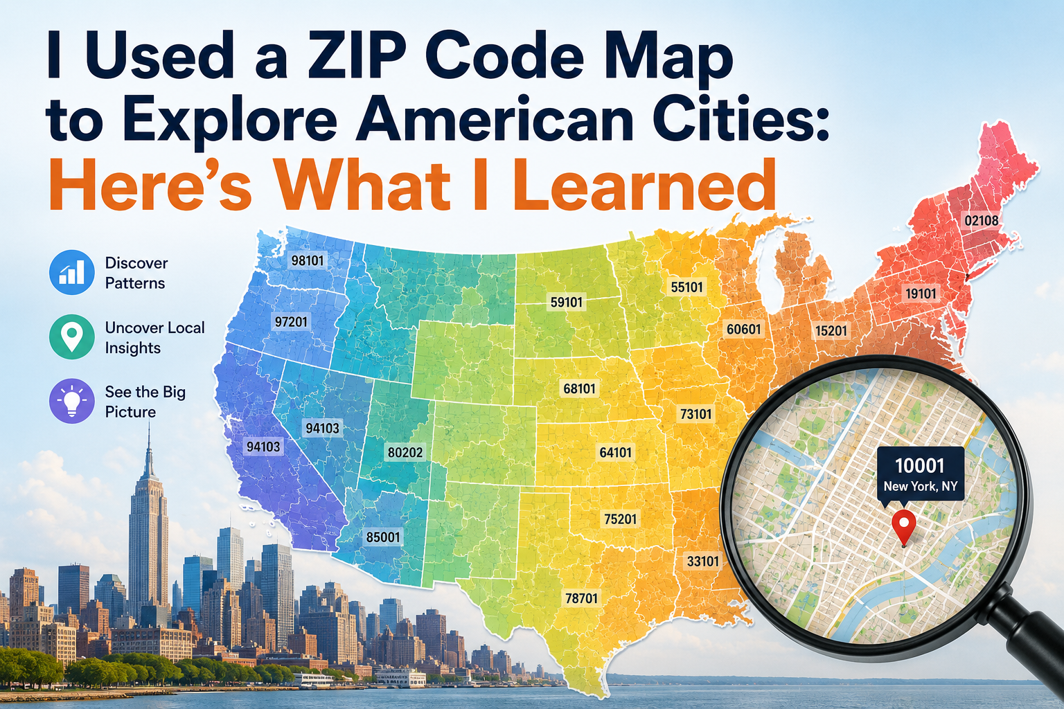
I had seen ZIP Codes countless times on addresses, online checkout forms, and shipping labels, but I rarely thought about what they looked like geographically. To me, a ZIP Code was simply a five-digit number attached to a location.
That changed when I started exploring American cities using ZIP Code maps.
What began as simple curiosity became an interesting way to understand how cities are divided, how neighborhoods relate to one another, and why postal geography does not always match the boundaries we see on ordinary maps.
Here are some of the things I learned from the experience.
Seeing ZIP Codes on a Map Changed Everything
Looking at a list of ZIP Codes is useful, but seeing them on a map gave me an entirely different perspective.


A map made it easier to see that ZIP Codes are associated with geographic areas rather than simply existing as isolated numbers.
I could visually compare one area with another and see how postal regions were distributed throughout a city.
The numbers suddenly had a geographic meaning.
Large Cities Can Have Many ZIP Codes
One of the first things that caught my attention was the number of ZIP Codes found within major cities.
Before using a map, I knew that cities could have multiple ZIP Codes, but I underestimated how extensive the divisions could be.
Large metropolitan areas may contain numerous ZIP Codes covering different neighborhoods, commercial districts, and residential areas.
On a map, these divisions become much easier to understand.
A single city can look like a patchwork of different postal areas.
ZIP Code Boundaries Are Not the Same as City Boundaries
This was probably the most important lesson.
I initially expected ZIP Code boundaries to follow city limits closely.
They often do not.
ZIP Codes are primarily designed around postal delivery, while city boundaries are administrative and political.
As a result, the two systems can overlap in ways that are not immediately obvious.
A ZIP Code may be associated with a particular city name without perfectly matching that city’s official geographic boundary.
The map helped me understand why this happens.
Neighboring ZIP Codes Can Look Very Different
Another interesting discovery was how quickly the characteristics of an area can change from one ZIP Code to another.
One ZIP Code might contain a dense commercial district, while an adjacent area could be primarily residential.
Another might cover industrial properties or a different type of community.
This reminded me that ZIP Codes are not just numbers used by mail carriers.
They can also be useful geographic references for understanding the organization of urban areas.
I Learned Not to Judge Distance by ZIP Code Numbers
Before exploring the maps, I sometimes assumed that ZIP Codes with similar numbers must represent locations that are physically close.
That is not a reliable assumption.
ZIP Code numbering follows a broader geographic and postal structure, but the numerical sequence should not be treated as a precise distance measurement.
A ZIP Code ending in a number close to another ZIP Code does not necessarily mean the two locations are next door.
The map made this obvious.
Rural Areas Presented a Different Picture
When I moved beyond major cities and looked at less densely populated areas, the maps became even more interesting.
ZIP Codes can cover much larger geographic areas in rural regions.
This makes sense because fewer addresses may be spread across a much larger area.
Comparing urban and rural ZIP Code maps showed me that the physical size of a ZIP Code can vary significantly.
Population density and postal delivery requirements help explain some of these differences.
ZIP Codes Can Help With Local Searches
After exploring maps, I started thinking about practical applications.
If I wanted to search for businesses or services in a particular area, a ZIP Code could provide a useful starting point.
For example, I could combine a ZIP Code with a search term such as:
restaurants near 90210
or
auto repair near 10001
This approach can help narrow a broad city-wide search.
Of course, modern mapping platforms can use much more precise location information, but ZIP Codes remain convenient geographic identifiers.
Businesses Can Use ZIP Code Information
The maps also helped me understand why businesses care about ZIP Codes.
A company might use ZIP Code information to analyze where customers live, define service areas, plan delivery operations, or study potential markets.
For example, a business serving customers within a certain radius might compare ZIP Codes to identify areas where its services are concentrated.
ZIP Code data can therefore be useful for both logistics and business planning.
ZIP Codes Are Not Exact Geographic Coordinates
One important limitation became clear during my exploration.
A ZIP Code should not be treated as an exact point on a map.
Some databases provide latitude and longitude associated with ZIP Codes, but these coordinates are often representative rather than the exact location of every address within the ZIP Code.
This distinction matters when using ZIP Code data for mapping or analysis.
If precise navigation is required, a complete address or GPS-based location is more appropriate.
Maps Made Me More Curious About American Geography
The biggest surprise was how much ZIP Code maps encouraged me to learn about American cities.
I started noticing patterns in urban development, population density, transportation corridors, and city expansion.
Although ZIP Codes are designed for postal purposes, their geographic distribution can provide an interesting perspective on how communities are organized.
It became almost like looking at a different layer of the city.
Data Quality Still Matters
Another lesson was the importance of using reliable ZIP Code data.
A map is only as useful as the information behind it.
When researching ZIP Codes, I prefer databases that explain their sources and provide clear information about how the data is maintained.
Postal and geographic information can change, and different databases may use different geographic classifications.
For casual exploration, this may not be critical.
For business, logistics, or official purposes, accuracy is much more important.